Details
Region: Western Columbia Gorge
Location: Historic Columbia River Hwy, Corbett, OR 97019 between Crown Point and Bridal Veil
DEN Rating: 9/10
Trail Length: 2.25 miles total (shorter distances possible)
Trail Type: loop or out and back
Hike Times:
- 3-5 minutes one way from main parking lot to base of Latourell Falls
- 20-30 minutes one way from main parking lot to Upper Latourell Falls
- 8-12 minutes between parking areas
- 60-90 minutes for full loop
Trail Difficulty: easy 2/10 between parking areas, moderately easy 3/10 to Upper Latourell
Trail Surface: paved, dirt and rocks
Popularity: 7/10
Family friendly: yes
Pet friendly: yes
Handicapped Accessible: no (lower picnic shelter is handicapped accessible, so is the restroom at the main parking area but trails and viewpoints are not.)
Swimming: no
Camping: no
Restroom: vault toilets
Season: year-round
Open Hours: 7:30AM – 9PM
Pass or Permit: none required
Managed by: Oregon State Parks
Select photographs in this article are available as custom prints. Click on the shopping cart icon to see print media and sizing options. Click on the expand icon for a full-screen view of the image.
In my humble (or not so humble) opinion, Guy W. Talbot State Park is a true standout in the Columbia River Gorge area. This beautiful state park features two gorgeous waterfalls set in a lush forest, with stunning Latourell Falls as it’s awe-inspring centerpiece. If you are visiting the Columbia River Gorge, Talbot State Park is an absolute must.
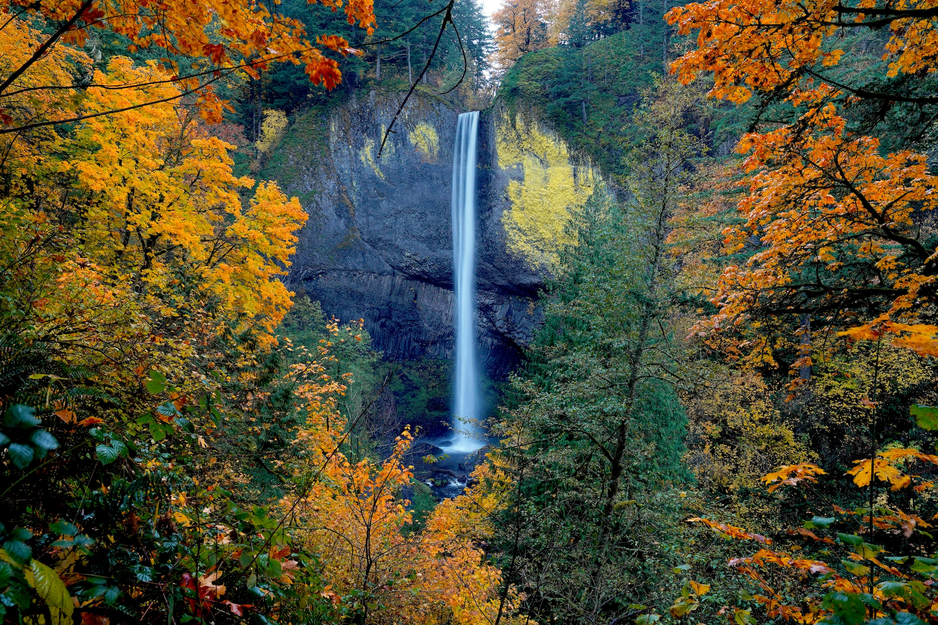
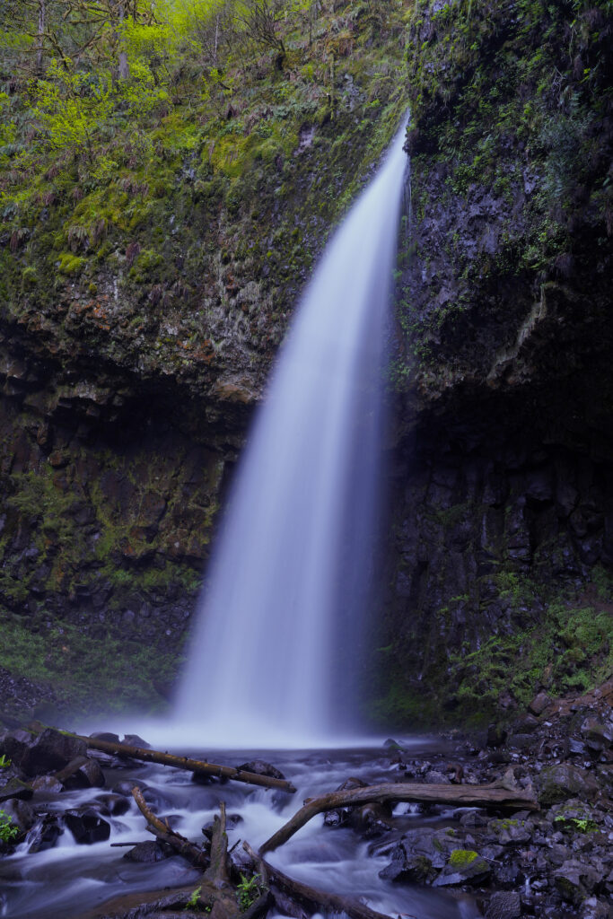
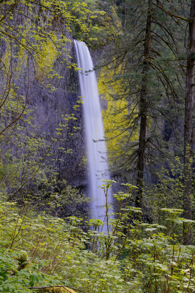
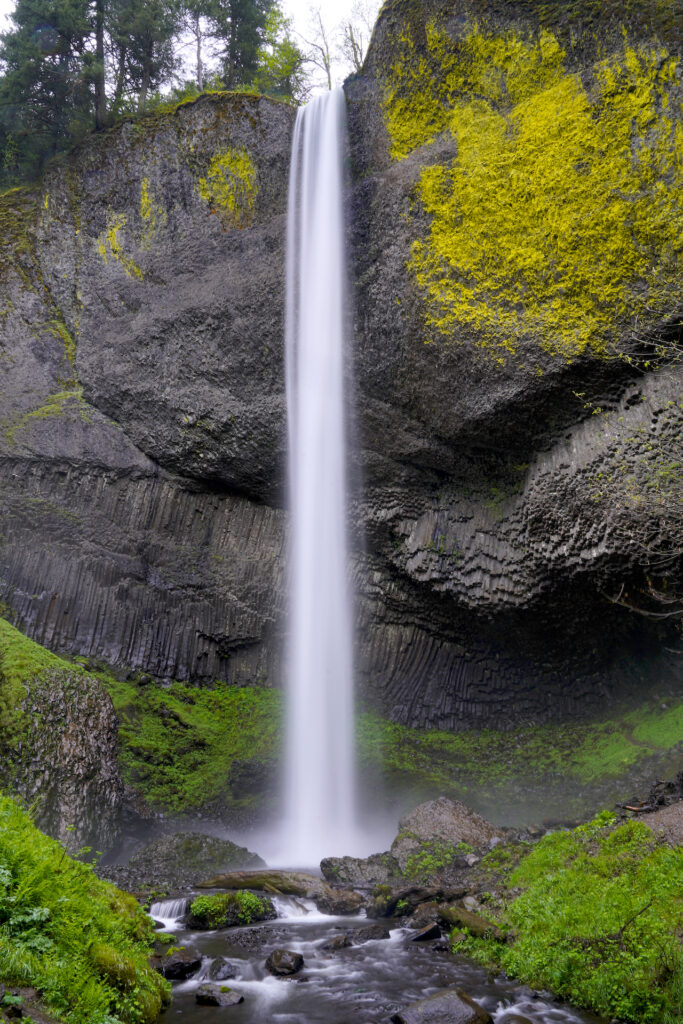
Latourell Falls drops cleanly off the rim of the gorge in a tall, thin plunge. The columnar basalt cliffs are incredible, with loads of stripes and geometric shapes plus a huge patch of neon yellow lichen on the upper right wall. Several views of the falls are available, including a few spots right at the falls base where you really get a sense of the immense height of this very pretty and tall waterfall. The height of the falls is debated; signs at the park state 249 feet, but surveys by Northwest Waterfall Survey the height is 224 feet. Either way it’s lofty and amazing!
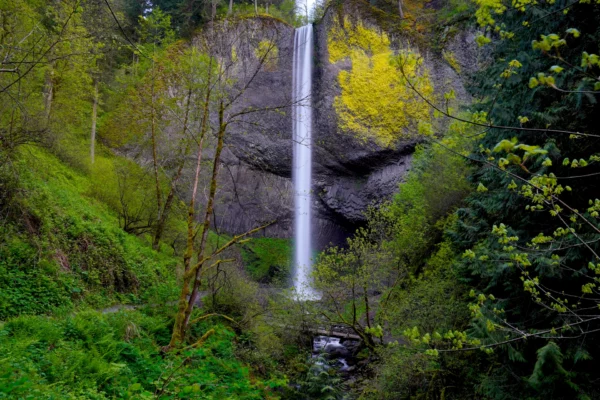
Latourell Falls In Spring
Latourell Falls is especially beautiful in April when the leaves emerge and the falls are full. I’m grateful that this gorgeous waterfall is only half an hour drive from my house; I was able to time this shot so that there was some spring greenery but not enough to significantly obscure the falls or the … Read more
Head upward past two more great viewpoints of Latourell Falls to an ok viewpoint looking across the falls grotto and toward the Columbia River, then continue up along Latourell Creek through beautiful forest to reach Upper Latourell Falls. Upper Latourell is quite different than it’s bigger sibling downstream – it’s upper half is a wide horsetail reminiscent of the upper half of nearby Bridal Veil Falls, then it twists and funnels down a trough before shooting out away from the cliff in a powerful plunge similar to nearby Ponytail Falls. The middle section of the falls is not viewable due to a fin of rock in the way. As you approach the falls the upper tier becomes blocked from view. A muddy scramble path leads beneath an undercut to a spot where you’re basically behind the lower part of the falls. While this 120-foot waterfall is not a stunner like larger Latourell Falls downstream, it has a more interesting shape and is definitely worth the fairly easy hike to reach it. The trail continues back down the opposite side of the creek before reaching another viewpoint for Latourell Falls and then eventually emerging on the road. Cross the road and continue down the stairs to the lower part of the park.
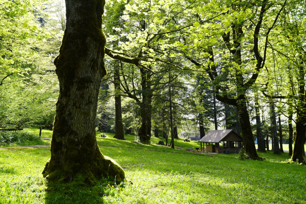
Most visitors to Guy W. Talbot State Park don’t realize there is a lower section of the park which is quite different than the falls and forest areas. Downstream of Latourell Falls, past the big arching road bridge, the park opens up into a very nice gently-sloping lawn area shaded by grand old Bigleaf maple trees. A reservable picnic shelter features a really nice grill, and several other benches and picnic tables are sprinkled around. This less-visited part of the park feels more like a rustic neighborhood park. Parking is available here if the main parking lot off the Historic Columbia River Highway is full. The main trail heads upstream to the base of Latourell Falls and then up to the main parking lot.
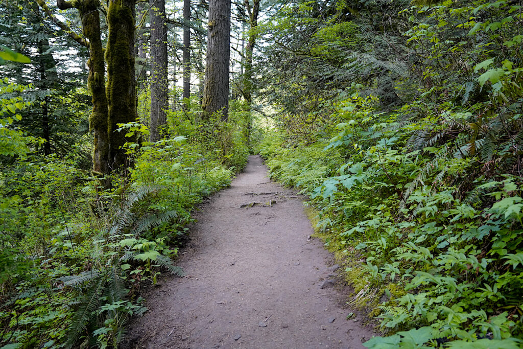
The upper (main) parking area and adjacent picnic tables were once the site of a roadhouse. The owners attempted to construct a view but were essentially unsucessful. The area behind the picnic tables / to the left of the trail to the upper viewpoint was dug out and trees were removed. The damage is still noticeable but the roadhouse itself has been completely erased. A good informational sign at the spot tells the story of the many roadhouses in the Columbia River Gorge, including this one.
Overall Guy W. Talbot State Park is perhaps my favorite location in the Columbia River Gorge. The park escaped the flames of the devastating 2017 Eagle Creek Fire entirely, so the forest is lush and intact. The tree canopy is open enough that the forest floor is carpeted with wildflowers and woodland plants. It’s beautiful in spring when the bleeding hearts and salmonberry bloom. In summer the whole park is a cool green oasis, and in the autumn the abundant maples put on a golden show. Winter is also nice here when the falls rage and the views are not obstructed by leaves. With paved trails to two different viewpoints, fairly easy hiking trails, two beautiful waterfalls, and a very nice picnic/grill shelter hidden at the bottom of the park, there is something for everyone here at Guy W. Talbot State Park. All it takes is a 35-minute drive from downtown Portland to reach this standout gem in the Columbia River Gorge!
Bonus: Stand on the bridge at the base of Latourell Falls at dusk in summer and watch the little bats flying around you catching bugs. If you’ve never seen bats before this is a great spot to check them out!
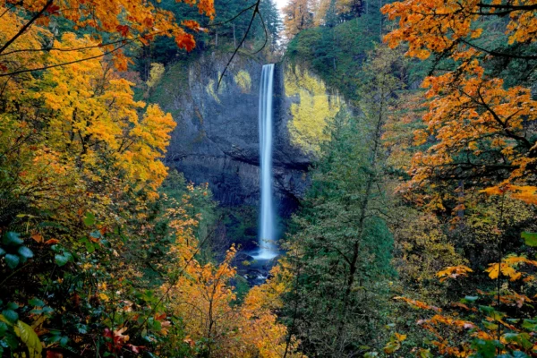
Surrounded By Gold
Golden autumnal maple branches encircle the view of Latourell Falls in early November. It was late afternoon and the sun was coming down the canyon in patches when I arrived. I waited for about twenty minutes for full shadow and then for the air movement generated by the falls to calm momentarily before finally getting … Read more
Cautions
There are a few spots where falls are possible, especially around the viewpoint at the top of Latourell Falls – stay on the main trail here and do not take the little scramble paths to get a clearer view. Stay out of the pools at both falls – they are both very turbulent and shallow. There are a few muddy / slippery spots on the trails, especially in the mist zones near the bases of both falls. Overall this is a pretty safe area, with guard rails and handrails in the appropriate places. If it weren’t for a few steps the lower viewpoint of Latourell Falls would be handicapped accessible. It’s definitely appropriate for young children and pets. There is a decent amount of Devil’s Club around – it’s pretty but covered in thorns so just don’t touch! Expect ice around the mist zones and in the patches where springs run across the trail whenever the weather is or has recently been freezing.
Getting There
Guy W. Talbot State Park is found on the Historic Columbia River Highway between Bridal Veil and Crown Point / Corbett. From Portland, the fastest route is to take the Bridal Veil exit, then turn right onto the Historic Highway and drive past Angel’s Rest, Bridal Veil, and Shepperds Dell until you come across the main parking lot on the left just before Latourell Bridge. If you’re at Crown Point or Corbett just head east on the Historic Highway.
To reach the lower parking area, go west across Latourell Bridge, then take the soft right turn onto Latourell Road (signs for Latourell Park) then just follow the road down to the little Latourell neighborhood. Take the first right turn and park next to the park lawn on the right (or any available spot – parking is on-street).
Photographer’s Tip
Latourell Falls: Cloudy days or earlier morning are the best times to photograph this waterfall. On sunny days in spring and summer the top of the falls is lit up but the bottom portion is in shadow. It can be hard to shoot near the falls base during the wet season due to the volume of mist, but the upper main viewpoint is solid year-round. The falls look good in all seasons, but the base of the falls gets blown around a bit when the water is low. The falls base is quite interesting as a photo subject. Sunlight shoots down the creek canyon and lights up trees near the falls about an hour before sunset in March – October, creating bright spots and high contrast. While many places are incedible during the evening magic hour, this is sadly a spot that suffers during the last hour of daylight. Fall color here is outstanding!
Upper Latourell Falls: This falls faces north and twists into a shadowy alcove as it drops. A cloudy day (or early morning / late afternoon) is basically required if you want even light on both parts of this waterfall. On sunny days I would forget about the upper part of this falls and just focus on the lower plunge, which is in even shadow most of the time. Upper Latourell Falls loses it’s luster when the water gets really low in late summer & early fall.
Links
https://stateparks.oregon.gov/index.cfm?do=park.profile&parkId=112
https://www.waterfallsnorthwest.com/waterfall/Latourell-Falls-4061
https://www.waterfallsnorthwest.com/waterfall/Upper-Latourell-Falls-4075
https://www.alltrails.com/trail/us/oregon/latourell-falls-loop-trail
https://www.oregonhikers.org/field_guide/Latourell_Falls_Loop_Hike

