Details
Region: Columbia River Gorge
Location: end of E Larch Mtn Rd, 14 miles east the intersection with Historic Columbia River Highway, east of Corbett, Oregon.
DEN Rating: 9/10
Trail Length: 1/2 mile total to Sherrard Viewpoint, 6.8 miles through hike to Multnomah Falls via Larch Mountain Trail.
Trail Type: out and back to Sherrard Viewpoint, longer loop and through hikes available.
Hike Time: 15-20 minutes to Sherrard Viewpoint and back, other hikes longer.
Trail Difficulty: moderately easy 4/10 to Sherrard Viewpoint, moderately difficult 6/10 on Larch Mountain Trail network, with some more difficult spots.
Elevation Gain: 82 feet to Sherrard Point. Larch Mountain Trail to Multnomah Falls descends over 4,000 feet and is almost all downhill when hiked point to point.
Trail Surface: paved to Sherrard Point, dirt and rocks on Larch Mountain Trail network.
Popularity: 6/10
Family friendly: yes
Pet friendly: yes
Handicapped Accessible: yes at picnic areas, no to Sherrard Point and on other trails.
Swimming: no
Camping: no
Restroom: vault toilets at picnic area.
Open Hours: open 24 hours
Season: closed at road milepost 10 when snow piles up on road, usually Nov – late May.
Pass or Permit: NW Forest Pass or $5 day use fee (payable onsite – cash only, no change).
Managed By: US Forest Service and Multnomah County.
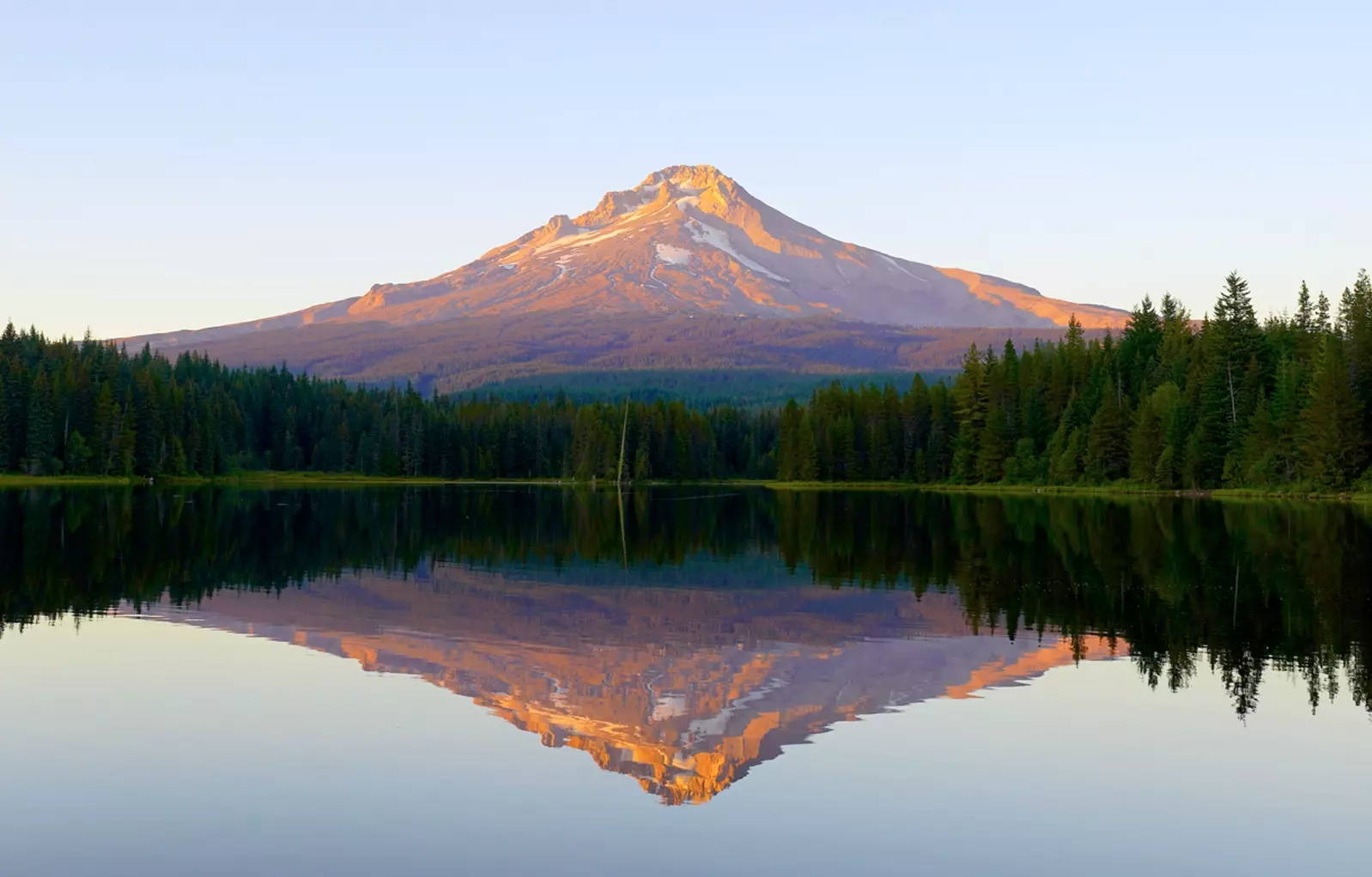
Larch Mountain pokes up above the Columbia River Gorge ridge lines, with Multnomah Creek draining its north side. A small park near the summit features handicapped accessible picnic areas, a vault toilet and a short paved trail that leads to Larch Mountain’s 3,944-foot forested summit. The entire area was closed for all of 2023 as the road and trails underwent improvements, creating nice paved trail surfaces and a smooth highway which is really fun to drive. From downtown Portland it takes about an hour to reach the parking area for Larch Mountain.
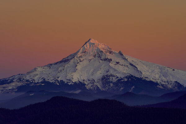
Warm sky glow and dusky pinks color the view of Mt Hood just minutes after a clear November sunset as viewed from Sherrard Point on Larch Mountain.
Mt Hood At Dusk
On a clear day I headed out after work to the Columbia River Gorge to see the early November fall color. I changed course when I saw how clear Mt Hood was and noticed the gorge was quite windy. I headed up to Larch Mountain, which I had never visited before due to the Covid … Read more
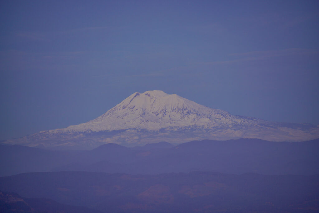
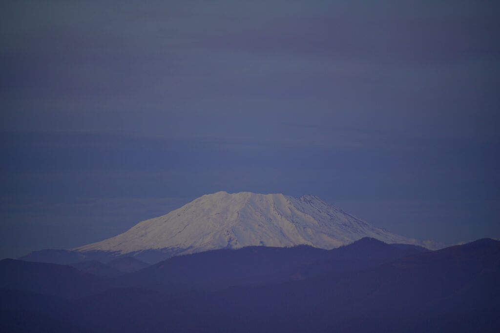
The star of the show here is Sherrard Point, located on a rocky outcropping to the NE of the main summit which is actually the old 4,055-foot volcanic summit. Take the paved trail that leads from the upper right corner of the parking lot next to the signboard for 0.2 miles, then climb the 100 or so steps up to the top of the rock. From this incredible vantage point you’ve got views of five Cascade peaks – Hood and Jefferson to the south, and Adams, St Helens, and Raineer to the north. The viewpoint is small enough that it gets full fairly quickly. This is one of the best viewpoints in Oregon! Alternatively, take the slightly longer paved trail to the summit of Larch Mountain, then continue as it descends back down and meets the more direct lower trail to Sherrard Point.
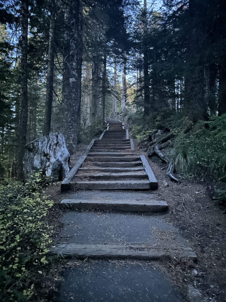
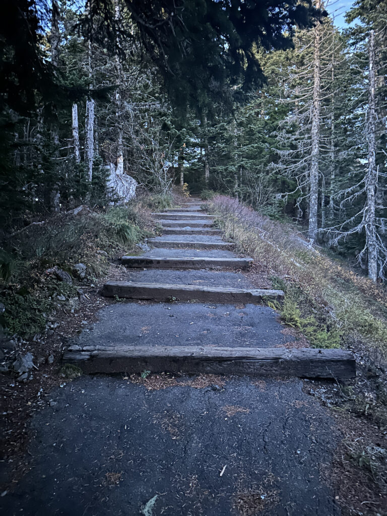
For a longer hike take the Larch Mountain Trail all the way down to Multnomah Falls Lodge as a wonderful through hike, descending through the recovering burn area caused by the 2017 Eagle Creek Fire. A network of trails cross over the ridges to various forks of Multnomah Creek as well as to adjacent Oneonta Creek and Wahkeena Creek. Yes this area is open for overnight backpacking trips – just be aware that fires are not allowed within 200 feet of the trail, and are banned once fire season restrictions go into effect. For the intrepid and fit hiker looking for a challenging full day hike, double the distance and return to your starting trailhead at either Multnomah Falls or Larch Mountain – doing so means about 4,000 feet of elevation gain.
If you are looking for a fabulous view of Mt Hood, the view from Sherrard Point on Larch Mountain is sublime and worth the steps up to the viewpoint. I very highly recommend this spot! Also for stargazing, night sky photography, and viewing the occasional Northern Lights shows, this spot is outstanding!
Cautions
Take a breather if needed when ascending the steps up to Sherrard Viewpoint. The viewpoint is fenced so no falling worries there. Have a trail map with you if you descend the Larch Mountain Trail to Multnomah Falls or explore the trail network as there are many trail junctions. Some of the trails in this area are still closed due to the Eagle Creek Fire.
Getting There
From the town of Corbett, head east on Historic Columbia River Hwy (Historic Hwy 30) for about three miles, then take a soft right onto E Larch Mtn Rd where the road splits just east of Portland Women’s Forum State Scenic Viewpoint. Follow the freshly paved winding road through the dense forest for 14 miles as it ascends to the top of Larch Mtn, ending at the parking area.
Photographer’s Tip
Bring a tripod and a zoom lens – you will want close-ups of Hood, Adams, and St Helens, the three closest peaks. Sherrard Point is a fabulous spot for sunrise and sunset light on the peaks, particularly Mt Hood.
Goodnight Kiss – Limited Edition
Fog settles in the valleys like a misty blanket as the last ray of pink sunset light kiss the summit of Mt Hood on a beautifully clear November evening. This view is from the top of Larch Mountain, which is one of the best viewpoints I have ever been to. I visited after work one … Read more
In stock
Links for Larch Mountain Picnic Area and Sherrard Point
https://www.fs.usda.gov/recarea/crgnsa/recarea/?recid=29942
https://www.fs.usda.gov/recarea/crgnsa/recreation/recarea/?recid=30070
https://www.alltrails.com/trail/us/oregon/sherrard-point
https://www.oregonhikers.org/field_guide/Sherrard_Point_Hike
https://www.outdoorproject.com/united-states/oregon/larch-mountain-sherrard-point
Links for Larch Mountain Trail network to Multnomah Falls
https://www.fs.usda.gov/recarea/crgnsa/recreation/recarea/?recid=80589
https://www.alltrails.com/trail/us/oregon/larch-mountain-trail
https://www.alltrails.com/trail/us/oregon/sherrard-point-via-larch-mountain-trail
https://www.nwhiker.com/CGNSAHike14.html

