Details
Region: Southern Washington
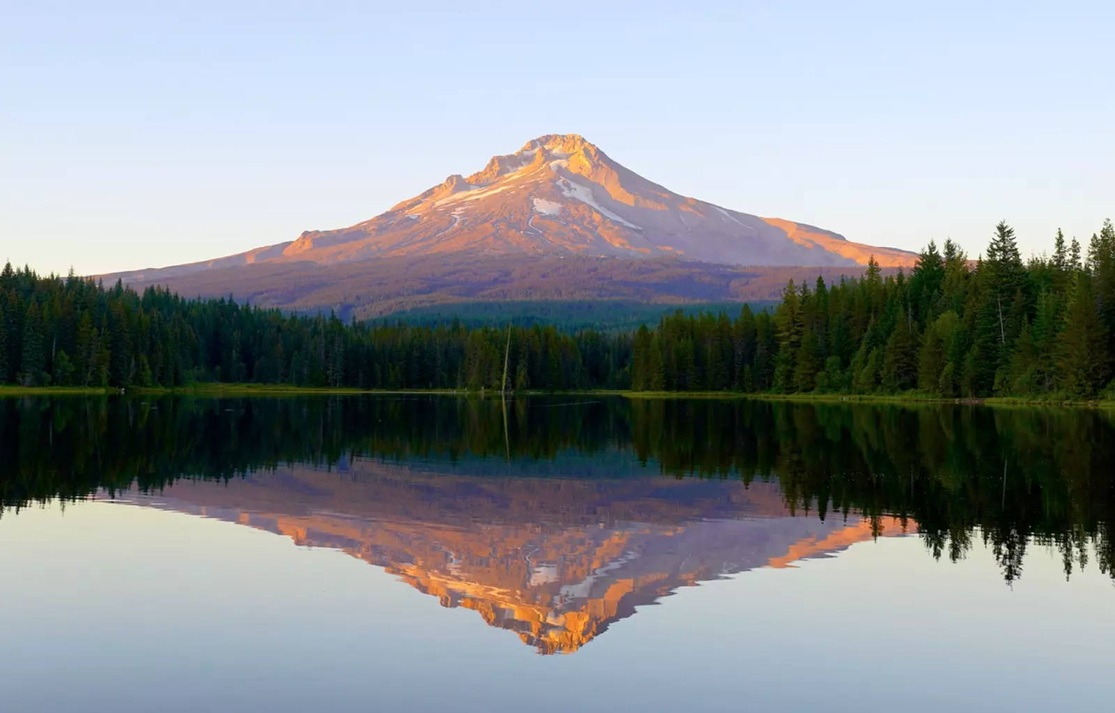
Location: South face of Mt St Helens in Giffort-Pinchott National Forest near Cougar, WA
DEN Rating: 8/10
Lower Cave Trail:
- Trail Length: 1.6 miles total
- Trail Type: out and back
- Hike Time: 25 – 35 minutes one way
- Trail Difficulty: easy 3/10
- Elevation Gain: 100ft
- Trail Surface: solid wet rock, mud, sand
Upper Cave Trail:
- Trail Length: 3 miles total
- Trail Type: loop
- Hike Time: 2 – 3 hours total
- Trail Difficulty: difficult 7/10
- Elevation Gain: 433ft
- Trail Surface: solid wet rock, irregular piles of rock, one 8’ rope climb
Popularity: 8/10
Family friendly: yes in lower cave, no in upper cave
Pet friendly: no
Handicapped Accessible: no
Swimming: no
Camping: no
Restroom: vault toilets at trailhead
Open Hours: day use only (dawn to dusk)
Season: May 18th – Oct 31st
Pass or Permit: Northwest Forest Pass, or America The Beautiful Pass, or $5 day use parking pass, PLUS timed entry pass (purchased via recreation.gov).
Managed By: US Forest Service
Ape Cave (sometimes called Ape Caves due to 2 entrances) is one of the most popular destinations in the region for good reason – it’s a fascinating and unique hike through a long, snaking, and surprisingly wet lava tube. Offering two very different routes through the damp blackness, Ape Cave is absolutely worth a visit, especially on a hot summer day!
Lava tubes are different than most caves as they were formed by flowing underground magma instead of being eroded by water like limestone caves or created by shifting tectonics. Terraced ledges run through many sections of the cave, having formed through fluctuations in the amount of magma. Many years after the cave formed, mudflows brought material into the cave which has hardened into a more even floor surface. Water continuously drips into the tube, creating a few puddles, lots of cool dripping sounds, and a very damp environment. Having visited many lava tubes, I believe this one takes the prize for wettest. It is also one of the longest – ranking 3rd in the continental US and 37th across the entire globe.
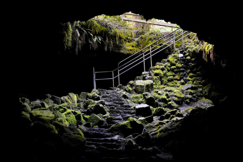
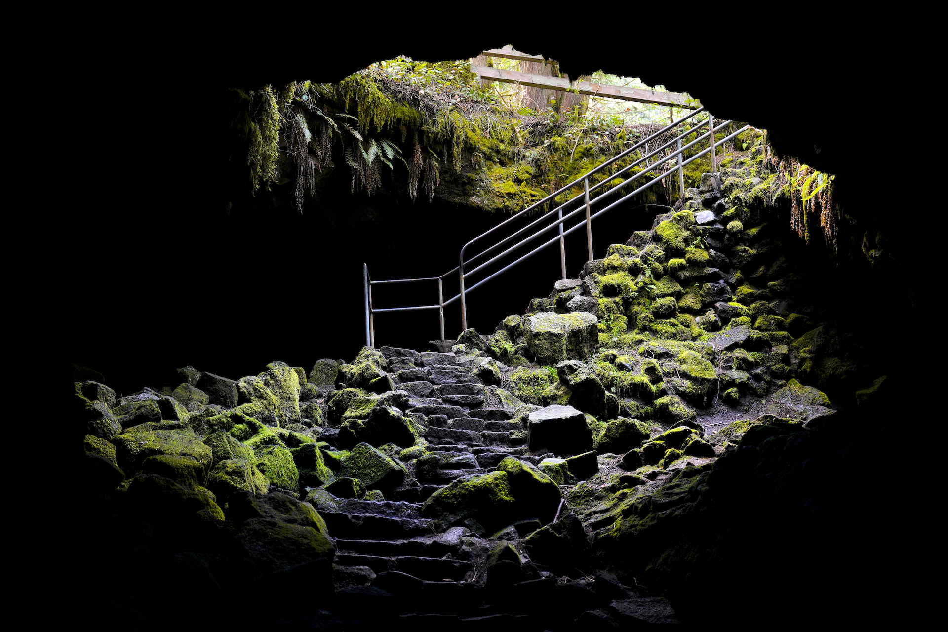
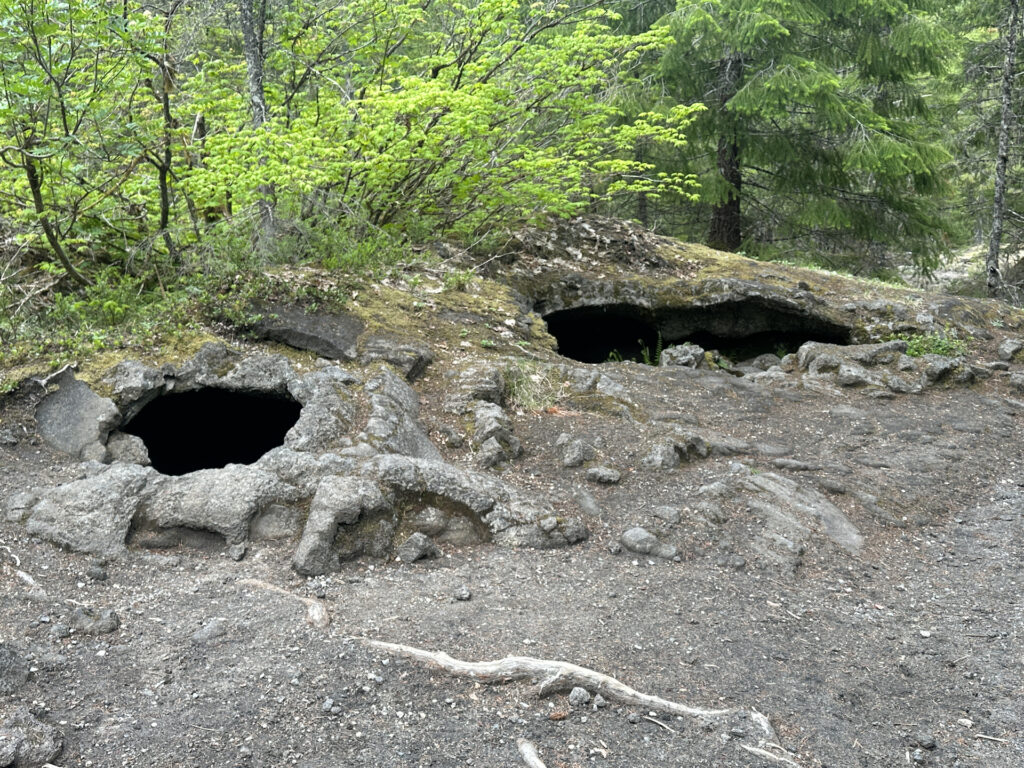
A short walk up the paved trail (be sure to clean your boots at one of the many stations en route) leads to the main cave entrance. Descend the steps into the mossy entrance chamber, then just around the corner a huge hole opens up in the floor with stairs leading down into the main lava tube. From here, visitors have two choices: head straight ahead to explore the easy Lower Cave, or do a 180 and head up the more challenging and longer Upper Cave route.
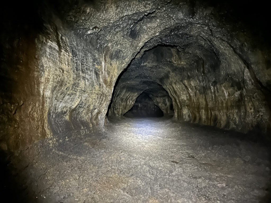
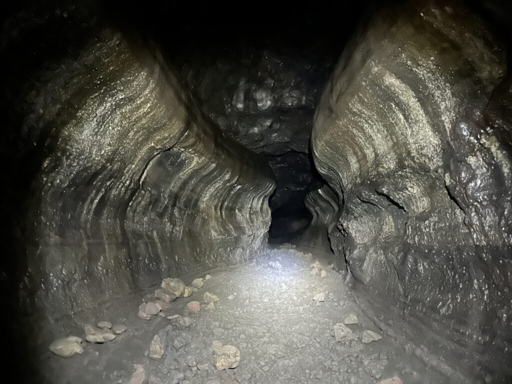
Lower Cave is very cool (literally – it’s 42 degrees year round) and a wonderful place to explore! The floor is pretty flat due to mudflows, with a few easy steps down here and there. The ceiling towers 40-50 feet above you in places, with several terraces running along the cave walls. It twists and turns beautifully. Toward the lower end of the passage the floor becomes sand, which eventually fills the tube creating an end to the tunnel. Near the end you will find the meatball, a stone geological oddity. Lower Cave is quite easy and good for kids. There are no branches in the tunnel so getting lost is nearly impossible. Overall it feels like an abandoned subway tunnel or a feeding tunnel dug by a dino-sized mole.
I went solo through all of Ape Cave, both Lower and Upper. I visited late in the day (entering the cave at 4:30PM) and there was no one else in the Lower Cave. Being that far underground by yourself in the absolute blackness was a thrilling experience. While the Upper Cave demands your attention in navigation, the Lower Cave is easy which allows your mind to wander and some fun to be had. Turn off your flashlight for a few moments and really experience how complete the darkness is – you cannot see your hand in front of your face. Make some eerie sounds and hear them echo down the tube. At one point I freaked myself out for a moment wondering why it was called Ape Cave and hoping that when I turned my flashlight back on there would not be some cave creature lurking just in front of me. Maybe don’t watch “The Descent” before visiting.
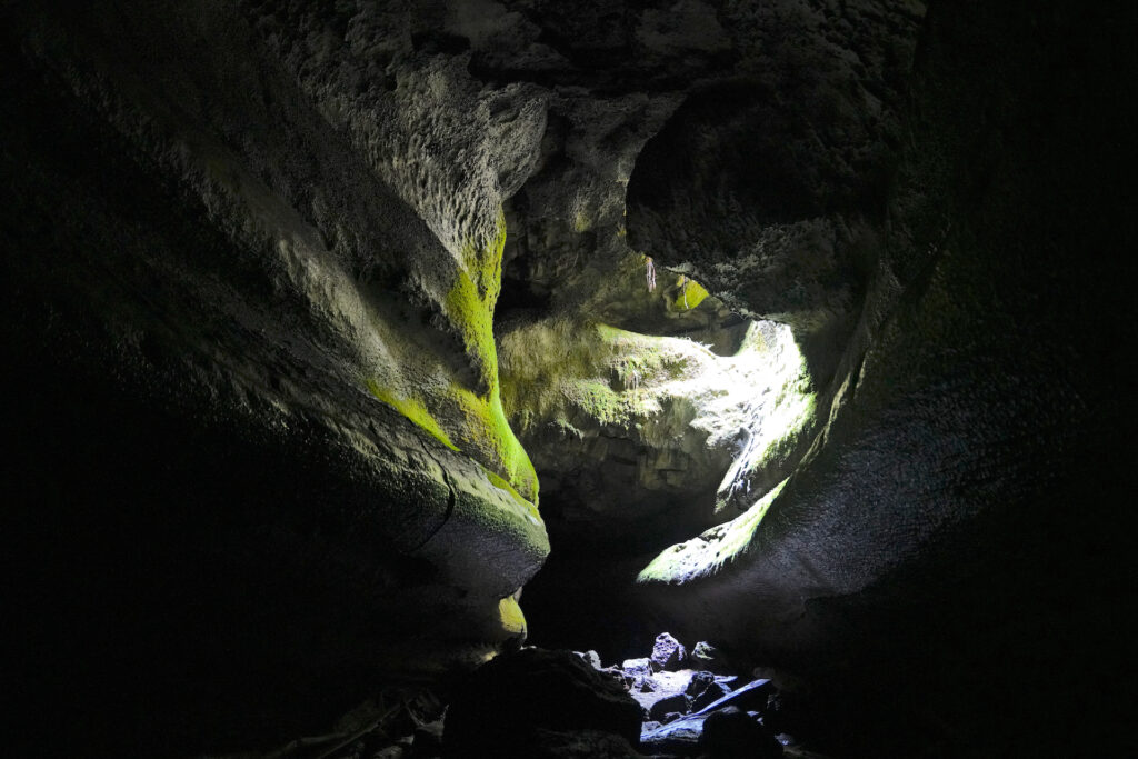
Upper Cave is much longer and far more challenging. In this section there are several spots where parts of the roof have fallen in, creating massive piles of rubble to navigate over. There is no definitive trail in these places – it’s simply a matter of finding the easiest route. You’ll need your hands free in a few spots, and expect some climbing, rock-hopping, squeezing, balancing, stooping, and stretching for the next foothold. At the first rock pile I found several full bottles of water dropped down in a crevice and a few more bits of rubbish. A little more than halfway through there is an 8-foot lava falls with a rope to scramble up. It takes some upper body strength but it’s not too tall. You’re almost there when you reach the pretty skylight. Continue to the top of the tube about 500 feet past the upper entrance (easy route is on the left of the big rock pile). The cave floor is really cool at the very top of the cave, with big cracks that look like the result of an earthquake. The ceiling is a little lower here. It’s a fairly tight fit squeezing through the entrance at the top of the upper entrance ladder if you have a backpack on. The 1.5-mile return trail is a moderately easy downhill hike over lava flows and past a few volcanic formations – just follow the biggest trail at every junction you encounter and look for blue metal trail signs on top of posts. Overall Upper Cave is a more challenging 7/10 when scrambling over rock piles interspersed with easier areas similar to Lower Cave. It feels pretty long, and you spend a lot of your time focused on successfully navigating the cave rather than on the overall experience.
During summer months be sure to check out the small Ape Cave Interpretive Center at the trailhead for souvenirs and to borrow a lantern!
Due to it’s popularity, Ape Cave is one of a few locations in the region that require a timed entry pass. The timed entry pass must be purchased in advance on recreation.gov – it costs $0 with a $2 processing fee. Print out your pass or write the date and ticket number on a piece of paper and display it on your dashboard. Here is the Timed Entry link: https:// www.recreation.gov/timed-entry/10086990/ticket/10086991
Also required is a Northwest Forest Pass or America The Beautiful Pass (or a day use pass) for parking. There is a station where you can purchase a $5 day use pass for parking if you don’t have one of the other types of parking passes.
When visiting any cave it’s important to follow a few protocols to help ensure that “white nose syndrome” doesn’t get spread into the local bat population (it’s a fungal infection that is wiping out entire bat colonies.) Use the boot cleaning station outside the cave, don’t wear anything that’s been in another cave without thoroughly washing it first, and wash everything you wore into the cave as soon as you get home (and try to clean those shoes too!). In addition, do not touch the walls or rocks in the cave unless you are wearing disposable gloves – this protects the molds and cave slime that grow on the cave surfaces. Gloves are a necessity for Upper Cave.
Cautions
The cave is 42F / 7C year-round. Wear a jacket. It is also completely dark, so bring at least two sources of light (a cell phone is not bright enough). My flashlight started getting dim and I was quite glad I had brought a backup. Dogs are not allowed in the cave. No food or beverages (except water), smoking, vaping, fireworks, or firearms are allowed in the cave. Make sure to use the restroom before entering the cave system! Help keep the cave environment healthy by not touching the walls (gloves are a necessity for Upper Cave to help with this.) Use the boot cleaning stations before and after visiting the cave, and follow the protocols for keeping the bats healthy. Expect drips and a damp, dark environment. The Lower Cave is very easy, appropriate for pre-schoolers. The Upper Cave is much more challenging, requiring scrambling over several huge piles of boulders and rubble as well as the 8-foot rope climb at the lava falls. Take your time and assess your chosen path. If it feels too challenging do not continue, turn back and find another route or head back to the entrance you came in at. A headlamp and sturdy boots are pretty much required. Older elementary kids could do Upper Cave as long as they have decent coordination and an adventurous spirit. Yes it is possible to hike up the moderate trail to the upper entrance, then enter the cave and travel down the tube to the lower entrance. Plan one hour to explore Lower Cave and 2-3 hours or more to traverse Upper Cave and then hike back down.
Getting There
From Woodland WA, follow WA-503 South (which heads east) for 30 miles to the town of Cougar WA, staying straight to take the 503 extension. Past Cougar, WA-503 becomes FR-90 at the Skamania County line. Turn left onto paved FR-83 (signed for Ape Cave and Lava Canyon) and continue 1 mile to the signed Ape Cave turn (turn left). Pass the Trail of Two Forests Interpretive Center and continue to the two Ape Cave parking areas. Follow the short paved trail past the Ape Cave Interpretive Center to the cave entrance.
Photographer’s Tip
Obviously a tripod and a light source are needed for photographing most of the cave. The entrances and the skylight near the upper entrance are pretty subjects – use a long exposure instead of an artificial light source to really get the feel of the cave. I used my 24-70mm lens exclusively. Bring a waterproof cover for your camera to protect from the bountiful drips inside the cave. If you’re hiking Upper Cave don’t bring gear you won’t likely use. Hiking up to the upper entrance, descending into the cave, then heading left (when facing the upper entrance ladder) is a quicker way to get to the skylight.
Links
- https://www.fs.usda.gov/recarea/giffordpinchot/recreation/otheractivities/recarea/?recid=40393&actid=102
- https://www.alltrails.com/trail/us/washington/ape-cave-trail https://www.wta.org/go-hiking/hikes/ape-cave
- Timed Entry Permit: https://www.recreation.gov/timed-entry/10086990/ticket/10086991
